4 Days
92 km
Moderate
1300 m
1250 m

The Harzer Grenzweg Trail
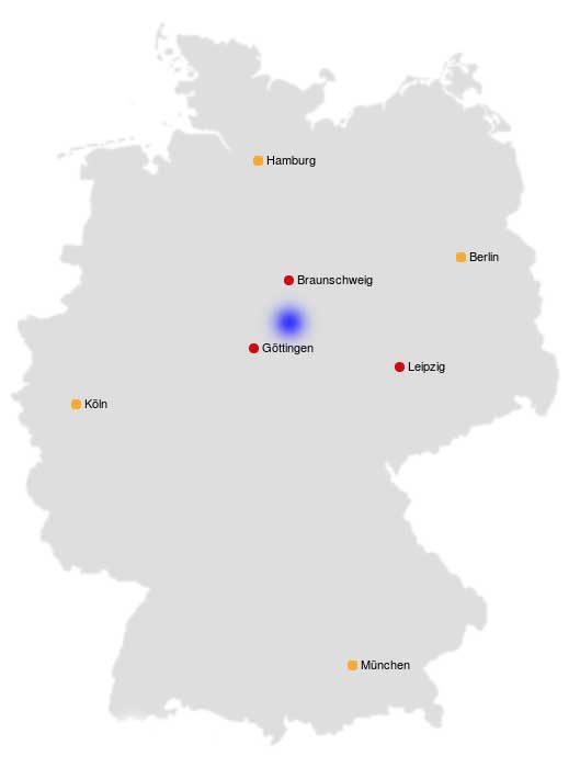
A 4 days hike from Tettenborn to the former border patrol tower near Osterwieck. A walk through the National Park Harz.
Explore the Harzer Grenzweg Trail in our video!
Are you looking for our detailed hiking report, stages or maps?
Harzer Grenzweg Trail – Our Hiking Experience
| The Trail is well marked with the logo or a “G” (Green Belt). In the National Park in particular. | |
| Getting there and back can be a bit difficult. Since the hiking trail does not go through any bigger city, buses are rare. | |
| You should be in good physical shape for the 92 km. The ascent to the Brocken requires a little more stamina. Technical skills are not required. | |
| You should also take cash with you on this tour. You won’t need a lot of money – we only spent EUR 30 in four days. | |
| The path leads you along numerous refreshment stops. At this point we refer to the Grenzimbiss near Hohegeiß. | |
| We cannot provide any information about pensions or hotels at this point. We spent the three nighta in a tent in January. As always, the exact locations can be found on our maps. It should be expressly pointed out that camping in the national park is prohibited. It is important to us: We leave the bivouac as we found it! | |
| Historical features such as old border posts, boundary stones and signs are particularly interesting on the Harzer Grenzweg Track. The accumulation of animal and plant species that are worthy of protection is considerable. | |
| There are no special safety instructions for the Harzer Grenzweg Trail. |
Stages we hiked
1. Tettenborn to Wendeleiche, 17 km
2. Wendeleiche to Braunlage, 20 km
3. Braunlage to Ilsenburg, 27 km
4. Ilsenburg to Osterwieck, 28 km

For more information about the hiking trip Harzer Grenzweg don´t hesitate to contact us. Feel free to watch our videos on YouTube and explore our other trails we´ve experienced for you!
Take care and go out and make it happen!


